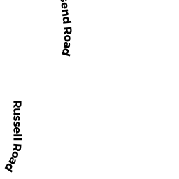
0 REAR TROG HAWLEY
LYNNFIELD, MA01940
Owner Information
CONSERVATION COMM
TOWN HALL
LYNNFIELD, MA 01940


Property Details
0 REAR TROG HAWLEY is classified as a (formerly Municipalities/Districts. Removed June 2009.).
0 REAR TROG HAWLEY is valued at $32,500. The land is valued at $32,500 and the structures are valued at $0.
This property is in Zone RC. Confirm with local Zoning Board authorities to ensure there are no overlays or other easements on this property.
Assessment data from fiscal year 2022.
Flood Data
This property is completely within the A Zone (within floodplain).
This information is sourced from the FEMA National Flood Hazard Layer. See our full disclamer.
Broadband Internet Providers
| Provider | Type | Bandwidth (mbps) | |
|---|---|---|---|
| VSAT Systems, LLC. | Satellite | 2 | 1 |
| Verizon New England Inc. | DSL | 10 | 1 |
| Viasat Inc | Satellite | 100 | 3 |
| Verizon New England Inc. | Fiber | 940 | 880 |
| Comcast | Cable | 1000 | 35 |
| T-Mobile | Fixed Wireless | 25 | 3 |
| GCI Communication Corp. | Satellite | 0 | 0 |
| HughesNet | Satellite | 25 | 3 |
Broadband service provider data from December 2020.
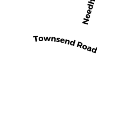
Adjacent Properties
- 2 TROG HAWLEY
Single Family Residential owned by TROG HOUSE TRUST - OFF TOWNSEND RD
(formerly Municipalities/Districts. Removed June 2009.) owned by LYNNFIELD CTR WATER DIST - 13 TOWNSEND RD
Single Family Residential owned by NEWTON MYRA M - 11 TOWNSEND RD
Single Family Residential owned by CLEARY SUSAN P - 0 REAR TOWNSEND RD
(formerly Municipalities/Districts. Removed June 2009.) owned by LYNNFIELD CTR WATER DIST - 0 REAR TROG HAWLEY
(formerly Municipalities/Districts. Removed June 2009.) owned by CONSERVATION COMM